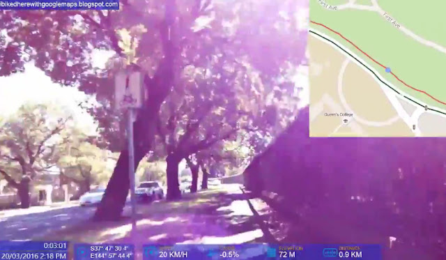
Lygon St, Cemetery Rd and College Cres Shared Paths - Mark off-road Trails in actual location not centre of roadway
Summary: Many roads have off-road Trails ("shared paths") running alongside for the use of cyclists, pedestrians and other non-motorists. Unfortunately, current Google Maps policy results in many "parallel trails" not being marked where they are but inaccurately placed in the middle of the road.Lygon St, Cemetery Rd and College Crescent are busy roads with no safe cycling space but have a shared path only on one side of the road. This off-road path should be drawn on Google Maps where it actually resides and with entrances/exits also marked up. This will allow cyclists and other potential users to access it and make safer and more convenient trips that avoid busy roads.
Status: Reported to Google Maps on 30 June 2016 but not yet fixed.
Issue Type: Issue 4: Off-road bike paths should be marked as trails not displayed as on-road routes
Google Maps Path and Directions vs Actual Trail:
Because Google Maps doesn't currently allow these trails to be marked accurately wherever they actually are, many off-road trail sections around intersections do not appear at all. Off-road trail users can only discover these by chance. The below shared path enables cyclists to avoid a busy, dangerous roundabout.


